Visualize with PMTiles
PMTiles (a tileserver in the form of a single file, read with Range Requests) is a powerful way to visualize very large datasets, see https://pmtiles.io . The key tool to generate one is tippecanoe.
See here on how to use tippecanoe to create a PMTiles file, and for a more advanced example, see this end-to-end notebook.
Note
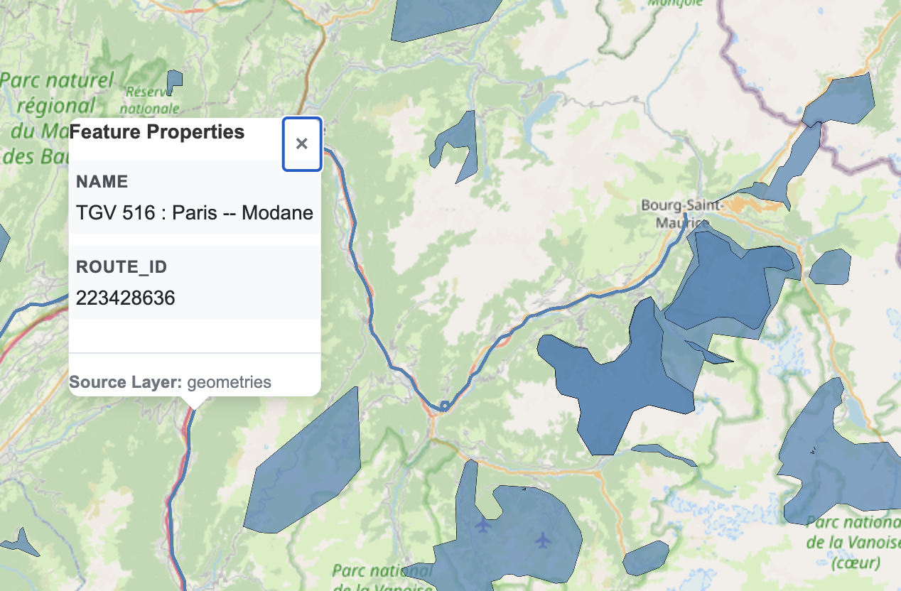
Note that the maps built on PMTiles are slippy maps, pannable and zoomable, unlike the screenshot of it below.